I’ve always liked Google Maps for its ability to allow people to explore new places via Google Street View (see here). And while recognizing that a virtual tour is not the same thing as an actual on the ground visit, virtual tours give you the ability to “visit” places you might never get a chance to see or to preview before you go. One recent set of places added to Google Street View is a series of local rail trails.
I’ve always liked rail trails. When I was an active runner I would often train on area rail trails (get it – train?). They are generally fairly flat, safely away from vehicular traffic, historic, and scenic. Some of the best rail trails in Pennsylvania are local(ish) and many of these can now be seen on Google Street View. Some of these have missing portions. The local trails on Google Maps are:
York Heritage Rail Trail (York County): The 2015 Pennsylvania Trail of the Year goes from the city of York to the Mason-Dixon Line. It continues into Maryland as the Torrey C. Brown Trail.
Enola Low Grade Trail – Safe Harbor and Quarryville (Lancaster County): This trail is two different sections, separated by a closed bridge. The Safe Harbor section of it offers wonderful views of the Susquehanna River.
Northwest River Trail (Lancaster County): This trail goes from Columbia to Falmouth and passes the base of Chickies Rock.
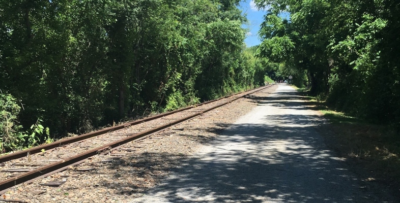
Lebanon Valley Rail Trail/Conewago Trail (Lebanon/Lancaster Counties):
Cumberland Valley Rail Trail (Cumberland County): This trail connects Newville to Shippensburg.
Happy Hiking!